The Vosges
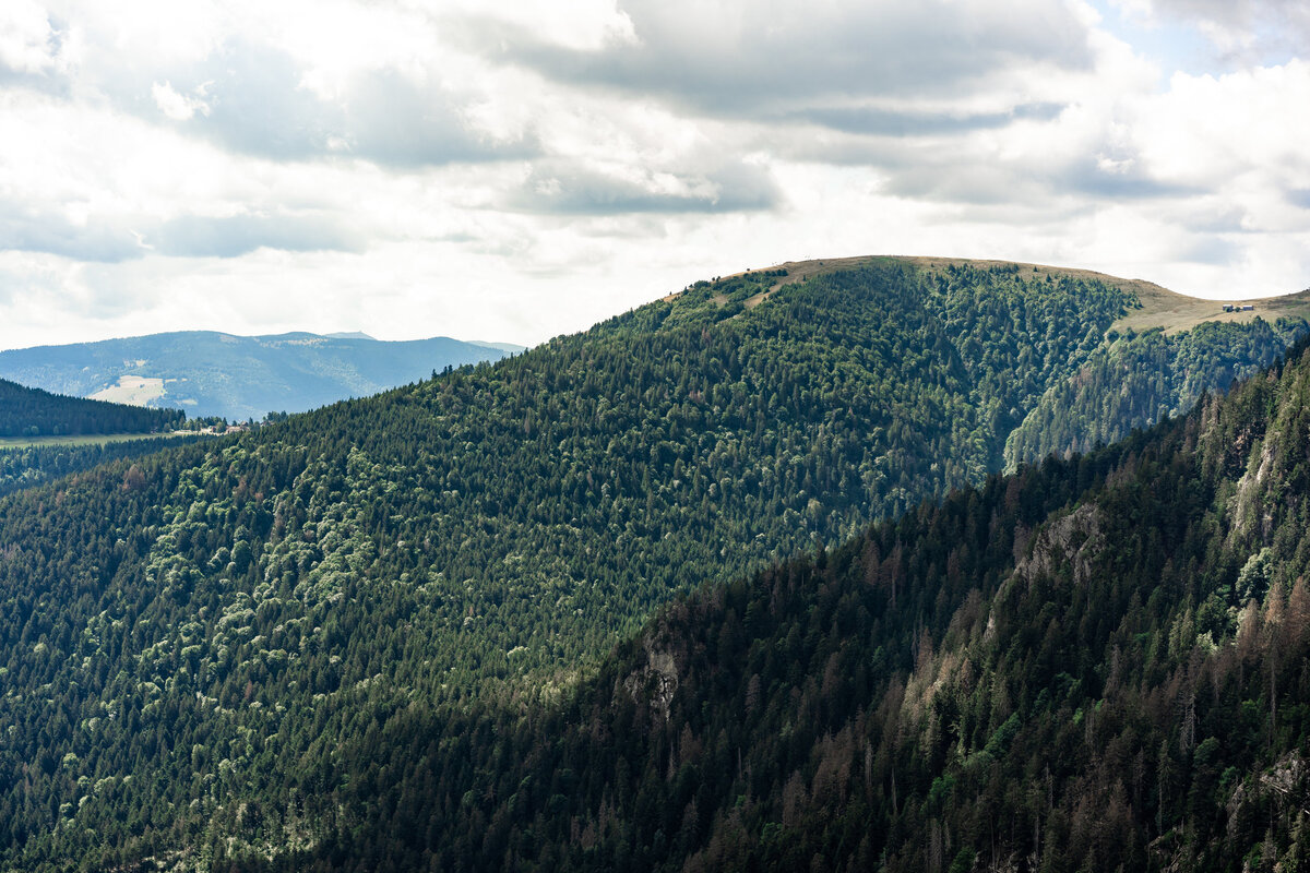
Extremely impromptu weekend away in Eastern France—we booked a hotel at around 9pm when we got over the border and into France. Google Maps set, and off we went.
Touring on a motorbike is fun. You’re extremely limited with what you can take. There’s no “suitcase syndrome” where you pack things you’ve not worn for weeks/months/years and lug 20kg of wardrobe around for no reason, when you were the same 4 things anyway. A motorbike is both restrictive and liberating. You pack your toiletries, underwear, essential clothes you will definitely wear, and then extras in case of emergencies (perhaps, warm things). Water bottle, phone charger, and off you go. That’s it.
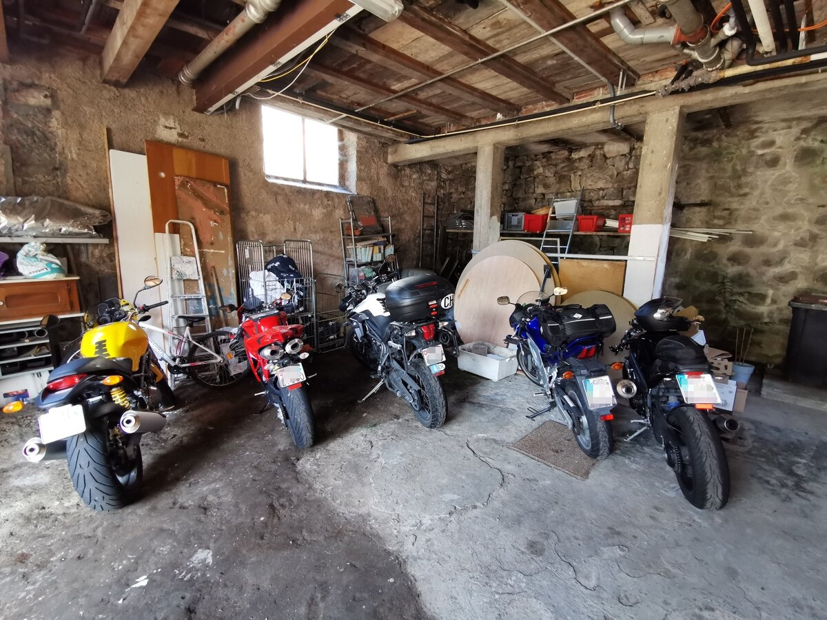
The destination for the weekend was The Vosges. Good luck to the English wanting to pronounce that, btw. Once we reached the charming little hotel, our bikes were ushered into a locked away garage with a couple of Ducatis and a big Triumph Tiger. We were in the right place then.
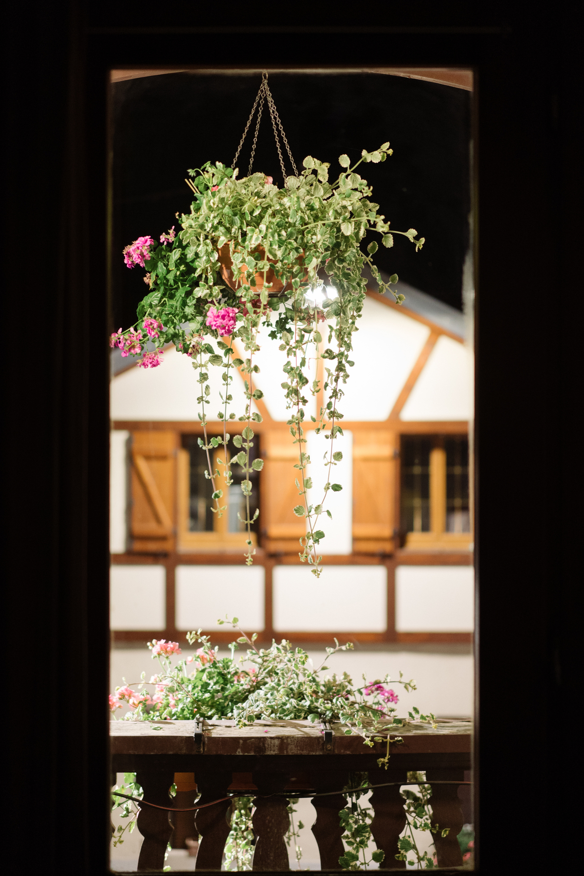
A good-but-too-short-sleep later, we had breakfast in the quaint little mountain hotel, where my French had come back to me. I say “had come back to me” as the previous night the hotel manager was asking us if we would like breakfast, and though I could understand him just fine, I wanted to reply in either German, Japanese, or English. So I did nothing but stare at the poor man and smile. By the morning, all my excellent GCSE French had risen to the top of my brain, so I was giving it all the “mercis” and “ouis” and “café noirs” that were [not] required.
Crushed a couple of croissants, consumed the coffee, and hopped onto the bikes. We [re]fuelled and immediately got lost up a gravel track, which was just how we wanted to start the day. For those of you unfamiliar with motorbikes, they don’t like being on steep inclines in gravel… stopped. Getting started again is something of a challenge, as gravity wants your 200kgs to go down, and friction is no longer your friend. We sheepishly reversed down the road, and decided to avoid all signs of gravel for the rest of the weekend.
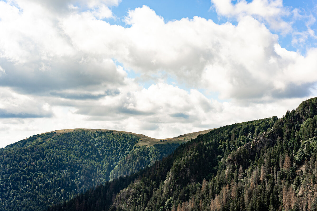
We went on road-after-road with turn-after-turn, on some of the best roads I’ve ridden on. The Swiss passes are special, but I’d say mostly for the view. There are some nice corners, but hairpin after hairpin isn’t quite as exciting to ride as hairpin-chicane-curve-chicane-hairpin. I rate The Vosges higher than The Alps for bikes.
We paused a few times, mostly to check the map/route, but occasionally to take a photograph, if there was something interesting, such as this stork below…
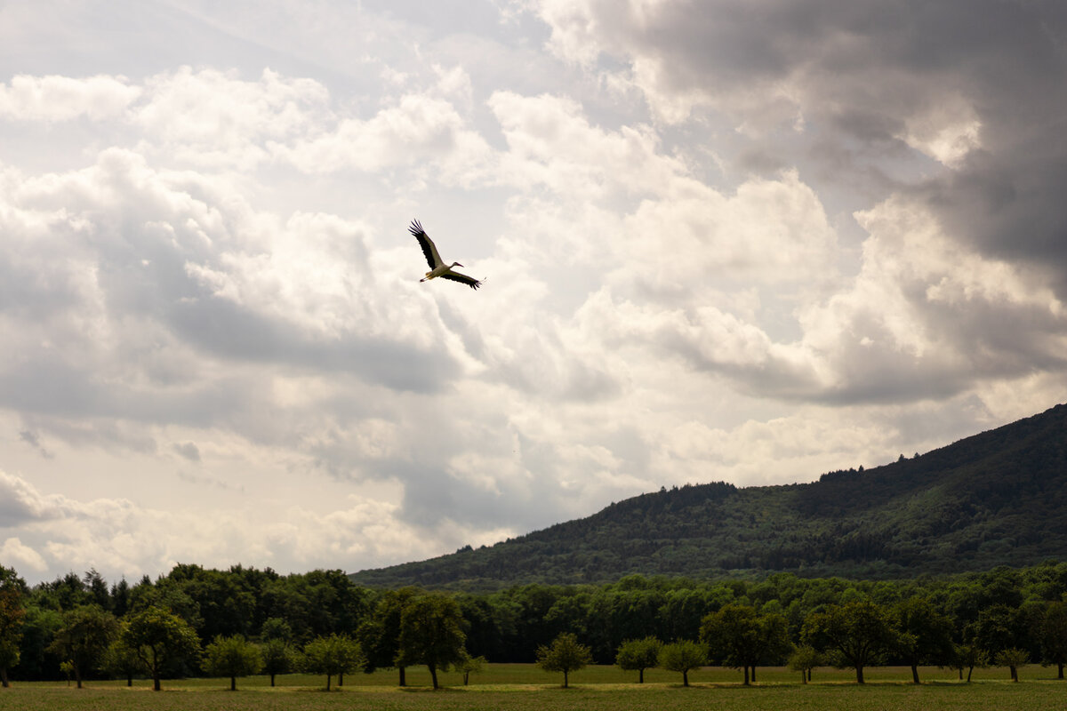
Storks are quite fascinating. One flew across the road about 30m in front of me and I couldn’t get over its size. The wingspan is routinely > 2.5m, which is absolutely colossal. When they take off, they really looks as if they struggle to get into the air. It’s amazing they fly at all really.
A carnivore, the white stork eats a wide range of animal prey, including insects, fish, amphibians, reptiles, small mammals and small birds. It takes most of its food from the ground, among low vegetation, and from shallow water. It is a monogamous breeder, but does not pair for life. Both members of the pair build a large stick nest, which may be used for several years. Each year the female can lay one clutch of usually four eggs, which hatch asynchronously 33–34 days after being laid. Both parents take turns incubating the eggs and both feed the young. The young leave the nest 58–64 days after hatching, and continue to be fed by the parents for a further 7–20 days.
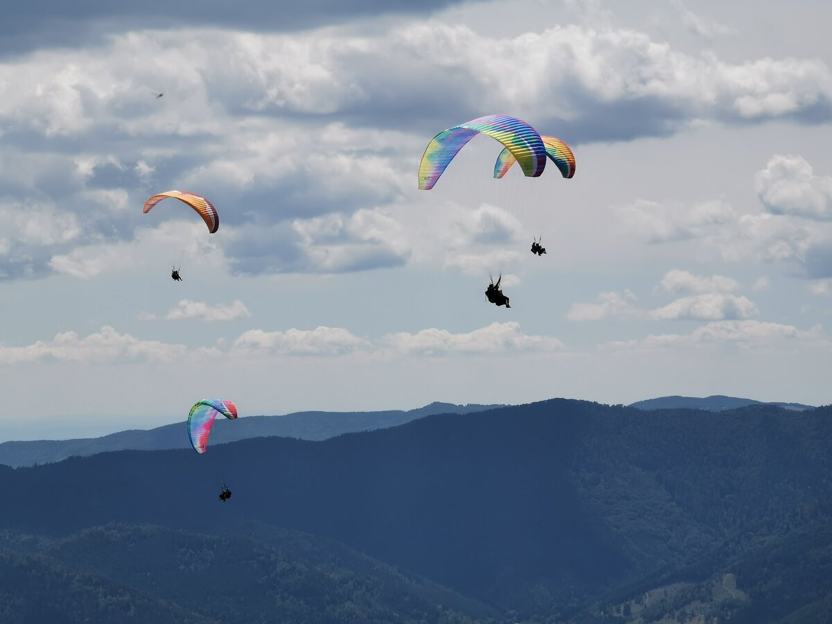
The Vosges (/voʊʒ/,[1][2][3] French: [voʒ] (listen); German: Vogesen [voˈɡeːzn̩] (listen);[4] Alsatian: Vogese) are a range of low mountains in eastern France, near its border with Germany. Together with the Palatine Forest to the north on the German side of the border, they form a single geomorphological unit and low mountain range of around 8,000 km2 (3,100 sq mi) in area. It runs in a north-northeast direction from the Burgundian Gate (the Belfort–Ronchamp–Lure line) to the Börrstadt Basin (the Winnweiler–Börrstadt–Göllheim line), and forms the western boundary of the Upper Rhine Plain.
The Grand Ballon is the highest peak at 1,424 m (4,672 ft), followed by the Storkenkopf (1,366 m, 4,482 ft), and the Hohneck (1,364 m, 4,475 ft).[5]
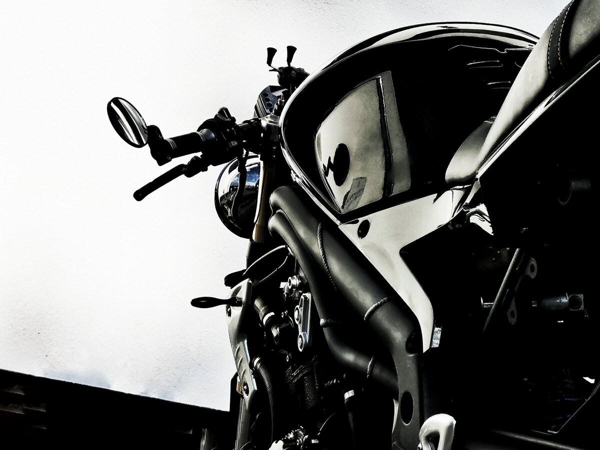
We made it back at about 9 pm or so. Knees quite tired after being bent up on the Speed Triple; it has quite an aggressive stance for a naked bike. It’s really almost a sports bike that’s had the fairing removed; a real streetfighter. I’ve replaced the stock handlebars with clip-ons for an even more aggressive stance, because I am weird like that. It does make for a superb cornering machine, but does mean that it’s less comfortable for extended periods of time.

For some reason Google decided I was using a car for 39 miles, but of course, I was still on my bike. Perhaps I was travelling as a car would on the motorway? There’s also a gap where I used aeroplane mode to conserve battery, hence the straight line, and the white straight line is where the white stork flew with my phone, obviously.
