Mt. Takao

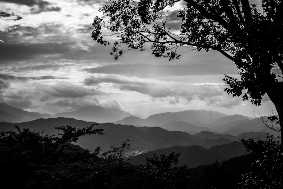
Mt. Takao │ NEX-7 & Voigtländer Nokton Classic 35mm F1.4 │ 35mm, ISO 100, f/2, 1/800 On Saturday morning, we took a train from central Tokyo to Mt. Takao at the western edge of Tokyo. We walked for a few hours to the summit of the mountain, at around 600m, where I took this picture showing the dramatic topography that comprises Japan. It’s something one cannot see in the UK, as the land back home is either rolling hills or reclaimed flatlands. It’s also very pleasant to have such a few just an hour or so from central Tokyo, where only a few square metres of skyline can be observed from ground level due to the imposing skyscrapers.
It’s a pleasant walk, and one of the few times one will walk around Kanto area saying “konnichiwa” to passers by. Though a popular and relatively busy route, people out for a walk always have a “hello” to say. Of course this couldn’t happen in downtown Tokyo, otherwise we’d lose our voices!
Roughly in the centre of the photo, one can make out Mt. Fuji. Sitting flat-topped above the clouds, Mt. Fuji’s 3776m summit is often visibile on a clear day. Very soon the mountain’s familiar snow-cap will return, as temperatures at the summit plummet to below zero. Typhoon 17 (台風17号) hit Tokyo yesterday, bringing heavy rain and severe winds. Today is the day after the storm; beautiful blue sky with not a cloud in sight.
From Wikipedia:
Mount Takao (高尾山 Takao-san) is a mountain in the city of Hachiōji, Tokyo, Japan. It is protected within Meiji no Mori Takao Quasi-National Park.
Standing 599 metres (1,965 ft) tall and located within an hour of downtown Tokyo, it is a popular hiking spot, with eight hiking courses and more than 2.5 million annual visitors. The Tama Forest Science Garden is also located at the mountain’s base.
Mount Takao is closely associated with tengu, minor kami from Japanese folklore, and the daitengu Naigubu. A Buddhist temple, Takaosan Yakuōin Yūkiji, is located on the mountain.